
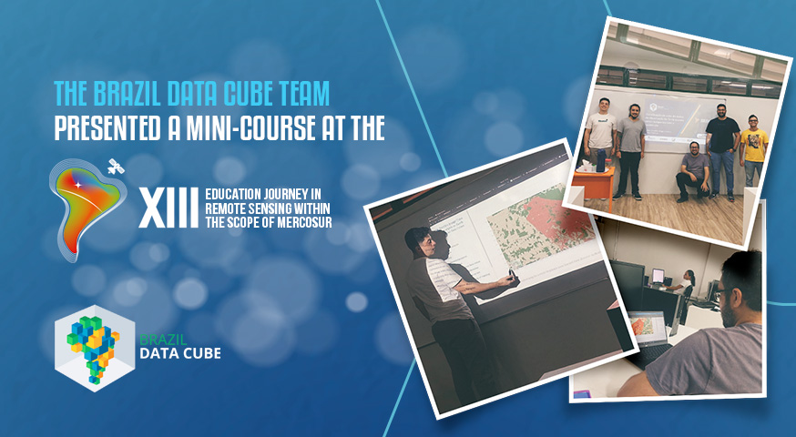
The Brazil Data Cube team presented a course at the XIII Journey of Education in Remote Sensing in Manaus
This week, from November 21st to 25th, 2023, the XIII Remote Sensing Education Journey within Mercosur is taking place at the Normal Superior School, State University of Amazonas, in Manaus, Amazonas, Brazil.
On the first day of the event, November 21st, the BDC team conducted the course ‘Earth Observation Data Cubes and Analysis of Temporal Image Series,’ where they introduced Earth observation data cubes and analysis of temporal image series; Data products and software developed by the Brazil Data Cube (BDC) project; BDC Explorer and TerraCollect platforms; Project BDC tools (STAC, WTSS, and WLTS) for data discovery and retrieval, extraction of temporal image series, and land use and cover trajectory; SITS package (Satellite Image Time Series): generating land use and cover maps from temporal image series extracted from data cubes using machine learning.
The content presented is available at: https://brazil-data-cube.github.io/jornada-merc-2023.html.
Source: Brazil Data Cube team.