
New publication by the Brazil Data Cube team in collaboration with University of Twente
The BDC project team, in collaboration with researchers from Faculty Geo-Information Science and Earth Observation (ITC) of the University of Twente, Netherlands, has just published an article in the Remote Sensing Journal.
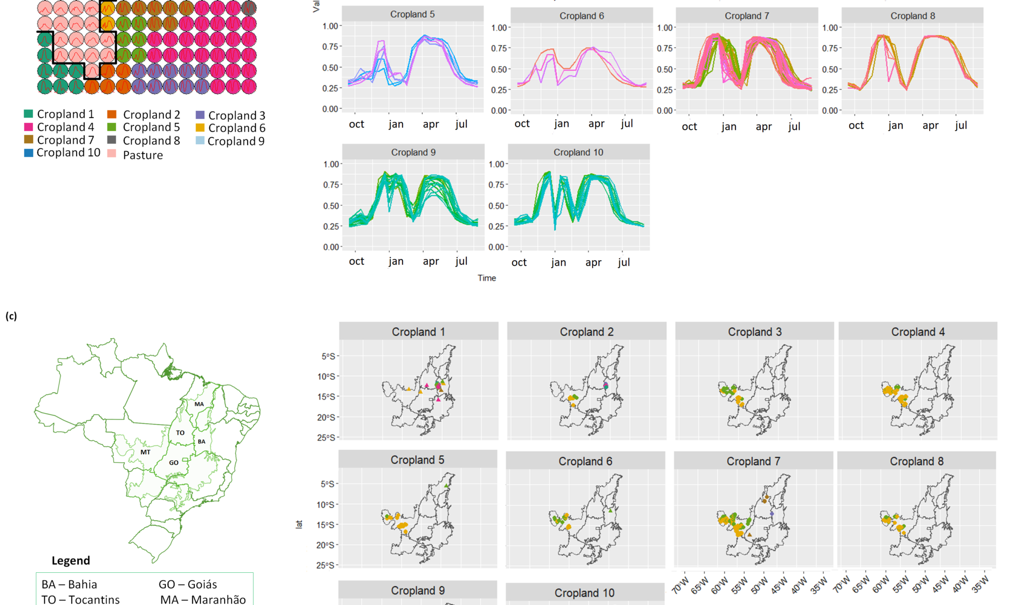
The article entitled “Identifying Spatiotemporal Patterns in Land Use and Cover Samples from Satellite Image Time Series” presents a method to improve the land use and cover samples inferring subclasses through the phenological, spectral and spatiotemporal information provided by satellite image time series.
Access the publication here.
To see other publications from BDC team, access https://data.inpe.br/bdc/web/papers/.
Source: Brazil Data Cube Project.