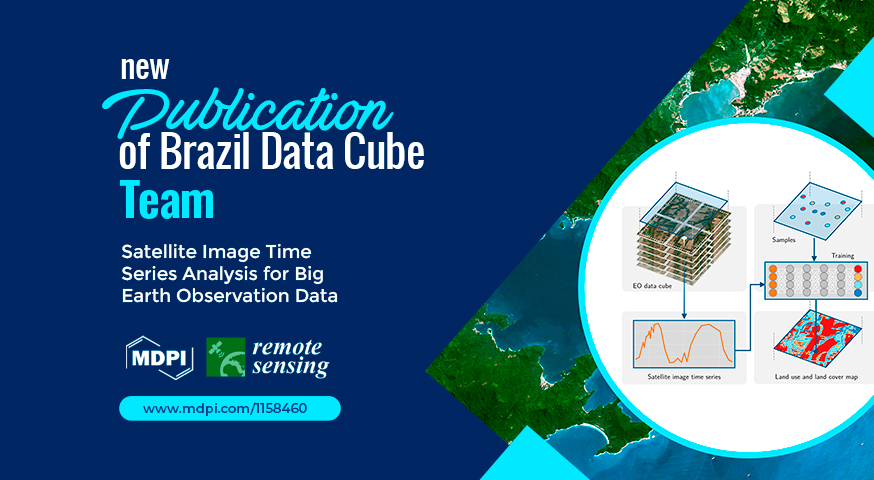
New publication by the Brazil Data Cube team
The associate researcher Rolf Simoes, from the Brazil Data Cube project, published the article “Satellite Image Time Series Analysis for Big Earth Observation Data” at the Remote Sensing journal, with his OTG advisors Gilberto Queiroz and Gilberto Camara, and other project members.
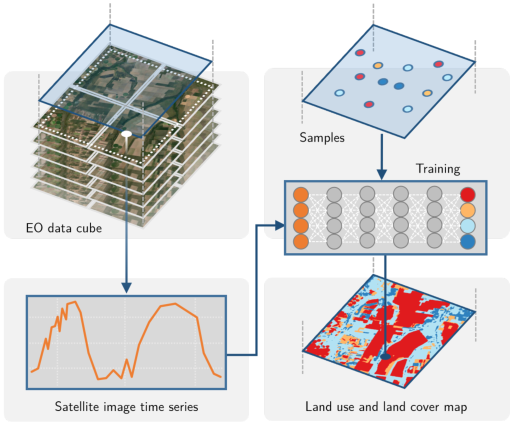
The article is the result of his PhD on Applied Computing at INPE. It presents an open source R package, SITS, state-of-the-art in satellite image time series classification, which provides full support to the workflow for the generation of land use and land cover maps using machine learning techniques. The software works in different cloud computing environments, with a simple set of functions that makes it easy to use. In the article, it is shown that the time series classification approach using machine learning produces land use and land cover maps with good accuracy through a case study in the Brazilian Cerrado biome, for the year 2018, using the data cubes generated by the project.
To see other publications by the BDC team, visit https://data.inpe.br/bdc/web/papers/.
Source: Brazil Data Cube team.