
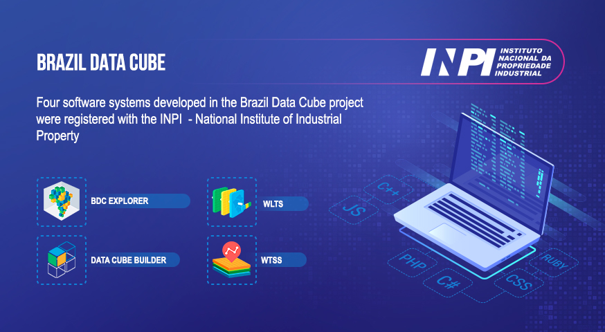
Four software systems developed in the Brazil Data Cube project were registered with the INPI (National Institute of Industrial Property)
The Brazil Data Cube team has just registered four software systems developed in the project with the National Institute of Industrial Property (INPI). The number of computational systems registered with INPI is one of the productivity indicators of the National Institute for Space Research (INPE) and its postgraduate courses.
The registered systems are:
(1) Web Time Series Service (WTSS): a web service for extracting time series from collections and data cubes of remote sensing images. In addition to the web service, this product includes a client in the Python programming language (wtss.py) and another in the R programming language (Rwtss).
(2) Web Land Trajectory Service (WLTS): a web service for integrating, harmonizing, and extracting land use and land cover trajectories from classified maps. In addition to the web service, this product includes a client in the Python programming language (wlts.py) and another in the R programming language (Rwlts).
(3) Data Cube Builder: a system for generating data cubes of remote sensing images in a local environment or on the AWS (Amazon Web Service) cloud.
(4) BDC Explorer: a web platform for discovering, visualizing, analyzing, and downloading collections and data cubes of remote sensing images and land use and land cover trajectories from classified maps.
All these systems are free and open-source, and they are available on the project’s GitHub repository.
Source: Brazil Data Cube Team