
Multidimensional data cubes from analysis-ready data (ARD) of CBERS-4, CBERS-4A, Landsat-8 and Sentinel-2 satellite images

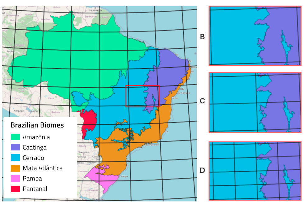
Data cubes are generated from ARD products from the BDC data collections. In the context of the BDC project, a hierarchical grid system was developed each containing differend cell size, to be used according to the spatial resolution of BDC ARD products. The BDC V2 grid system is composed by the grids BDC_SM (Small), which contains 105600m x 105600m cells, BDC_MD (Medium), which contains 211200m x 211200m cells and BDC_LG (Large), which contains 4224400m x 4224400m cells.
BDC grid system version 1 (BDC V1), followed the same hierarquical structure (Small, Medium e Large). However, the grid cells were deffined as 1×1.5, 2×3 e 4×6 degrees respectively. Figure 1 exemplifies BDC grid V2, while Figure 2 exemplifies grid V1.
The temporal composition function calculates or selects the value of a pixel within a time interval on an identity cube. The temporal composition function can be mean, median or Least Cloud-cover First (LCF). For example, given a time interval the average time composition evaluates all free cloud and cloud shadow values, given a cloud mask, and then calculates the final average value for each spectral band. In the case of LCF, a sorting is made based on the useful area of the images, considering the cloud cover and shadow, so the resulting value of the LCF composition is obtained from the first value found, if there is cloud or shadow in the first ordered image, the values of the pixels are taken from the second image and so on. The LCF temporal compositing function was previously called Stack (STK) during BDC products first versions, only the function name was changed, the best pixel selection remains the same. Figure 3 illustrates these procedures.
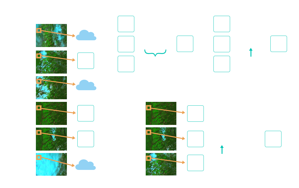
Figure 3 – Least Cloud-cover First (LCF)
BDC products are stored and distributed in COG (Cloud Optimized GeoTIFF) format, the table below illustrates the data cubes generated in the BDC project.
Data cubes generated by the BDC.
| Cube Collection | Satellite | Sensors | Spatial Resolution (m) | Temporal Compositing | Grid | Available |
|---|---|---|---|---|---|---|
| CB4-16D-2 | CBERS-4 | AWFI | 64 | 16 days LCF | BDC_LG (V2) | ✔ |
| CB4MUX-2M-1 | CBERS-4 | MUX | 20 | 2 month LCF | BDC_MD (V2) | ✔ |
| CBERS-WFI_64_8D_LCF-1 | CBERS-4/4A | AWFI | 64 | 8 days LCF | BDC_LG (V2) | ✔ |
| LANDSAT-MOZ_30_1M_STK-1 | Landsat-5/7/8 | TM/ETM/OLI | 30 | 1 month LCF | BDC_MOZ (V1) | ✔ |
| LANDSAT-2M-1 | Landsat-8/9 | OLI/OLI2 | 30 | 2 months LCF | BDC_MD (V2) | ✖ |
| S2-16D-2 | Sentinel-2A/2B | MSI | 10 | 16 days LCF | BDC_SM (V2) | ✔ |
| CB4_64-1 | CBERS-4 | AWFI | 64 | Identity | BDC_LG (V1) | ✖ |
| CB4_64_16D_STK-1 | CBERS-4 | AWFI | 64 | 16 days LCF | BDC_LG (V1) | ✖ |
| CB4_20_1M_STK-1 | CBERS-4 | MUX | 20 | 1 month LCF | BDC_MD (V1) | ✖ |
| LC8_30-1 | Landsat-8 | OLI | 30 | Identity | BDC_MD (V1) | ✖ |
| LC8_30_16D_STK-1 | Landsat-8 | OLI | 30 | 16 days LCF | BDC_MD (V1) | ✔ |
| MOD13Q1-6 | TERRA | MODIS | 250 | 16 days Best Pixel | STG | ✔ |
| MYD13Q1-6 | AQUA | MODIS | 250 | 16 days Best Pixel | STG | ✔ |
| S2_10-1 | Sentinel 2A/2B | MSI | 10 | Identity | BDC_SM (V1) | ✖ |
| S2-SEN2COR_10_16D-1 | Sentinel 2A/2B | MSI | 10 | 16 days LCF | BDC_SM (V1) | ✔ |