
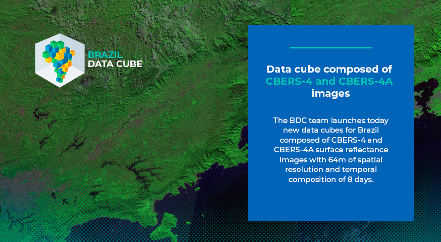
Data cube composed of CBERS-4 and CBERS-4A images
The Brazil Data Cube project team launches a new experimental data cube from Brazil with surface reflectance images from the WFI sensors aboard the CBERS-4 and CBERS-4A satellites, with 64 meters of spatial resolution and temporal composition of 8 days. Its timeline starts in January 2020.
This product can be visualized and downloaded via browser through the BDC project portal: CBERS WFI – Cube 8 days. You can also access this product using the STAC (Spatial Temporal Asset Catalog) and WTSS (Web Time Series Service) services using the collection name CBERS-WFI_64_8D_LCF-1.
Surface reflectance of the blue, green, red, and near-infrared spectral bands are provided in addition to cloud mask bands, EVI and NDVI vegetation indices, and auxiliary information bands that identify, for example, the total observations in each period and the imagery origin dates.
Source: Brazil Data Cube Team