
CBERS – 64m – 8 days
by BDC Team
National Institute for Space Research (INPE), São José dos Campos 12227-010, Brazil
DOI – https://doi.org/
Publisher: Inpe | Published:
Overview
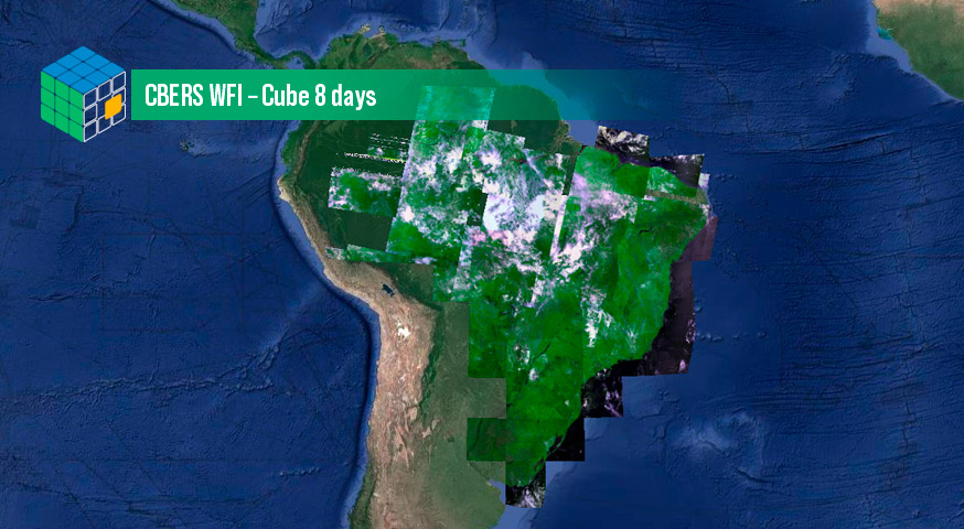
This datacube was generated with all available surface reflectance images from sensor WFI on board CBERS-4 and CBERS-4A satellites. The data is provided with 64 meters of spatial resolution, reprojected and cropped to BDC_LG_V2 grid, considering a temporal compositing function of 8 days using the best pixel approach (LCF).
Data Access
CBERS WFI – Cube 8 days can be accessed through the Brazil Data Cube portal and also through the STAC service, using the following address:
https://brazildatacube.dpi.inpe.br/stac/collections/CBERS-WFI_64_8D_LCF-1
Additional information
| Temporal Coverage | Start Date: 01/01/2020 End Date: 01/06/2023 |
| Coverage | West-bound Longitude: -76.222660350205 South-bound Latitude: -36.733211 East-bound Longitude: -32.761135 North-bound Latitude: 6.013904 |
| Instruments | WFI |
| Platform | CBERS-4 |
| Sources | CBERS WFI – Cube Identity |
© Esta obra foi licenciada sob uma Licença Creative Commons Atribuição-NãoComercial 3.0 Não Adaptada.