
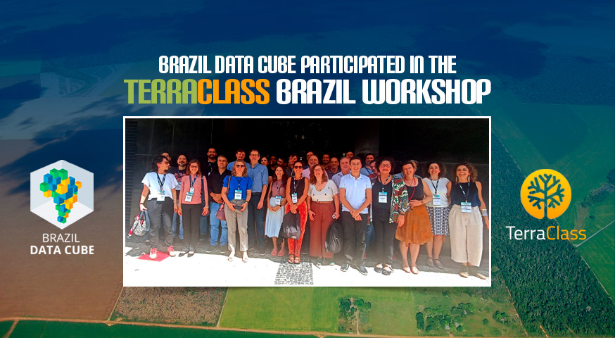
BDC participated in the “TerraClass Brazil” Workshop.
The BDC team participated in the discussions and presented the project’s solutions at the “TerraClass Brazil” Workshop – Mapping Land Cover and Land Use in Brazil, held on October 16th and 17th at IBGE in Rio de Janeiro.
The objective of the workshop was to gather experts in geotechnologies to devise the best organizational and methodological protocols for enabling the mapping of land cover and land use in the national territory, using remote sensing techniques supported by artificial intelligence algorithms and high data processing capacity within the scope of the TerraClass Brazil Project. The aim was to produce a time series of maps that would allow monitoring the dynamics of changes in land cover and land use over time.
The workshop brought together experts from the Brazilian Institute of Geography and Statistics (IBGE), the Brazilian Agricultural Research Corporation (Embrapa), and the National Institute for Space Research (INPE) to establish an interinstitutional arrangement, discuss, and promote advancements and adjustments to the methodologies used by EMBRAPA and INPE in carrying out the TerraClass Amazon and Cerrado mappings.
Source: Brazil Data Cube Team, IBGE, EMBRAPA.